AUDIO
MP3 Download: Listen to Michael Luis, life long resident of Medina, author and current Mayor of the city, talk about the location of the bridge approaches and the scandal of ticket fraud after the bridge opened.
MP3 Download: Listen to Dr. Lorraine McConaghy, the Public Historian at the Museum of History and Industry (MOHAI), talk about impact the SR520 Bridge had on the surrounding communities.
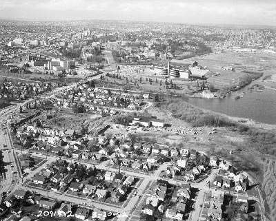
A round 1946, citizens in Seattle and the Eastside began calling for a second floating bridge across Lake Washington. Just six years after the Lacey V. Murrow Bridge (now known as I-90 bridge) opened, it exceeded its expected capacity of 20,000 vehicles a day. Between 1950 and 1960 the Eastside’s suburban population had increased by an astounding 88 percent. By 1960 more than 50,000 vehicles a day crossed the bridge on the average weekday.
The Washington State Legislature recognized the need for a new Lake Washington Bridge and in 1953 authorized tolls from the existing bridge to be used to support construction of a new bridge. The new bridge was initially scheduled to open by 1956 but public debate and opposition from both sides of the lake delayed the construction and opening by six years.
First, the location for the new bridge became a contentious issue. Planners initially considered six potential bridge locations - all of which had vocal advocates and opponents. By 1954 two sites emerged as most viable – the current Montlake-Evergreen Point route and a route between Sand Point Naval Air Station and Kirkland.
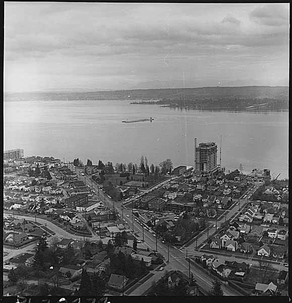
Neighborhood groups from Montlake and Madison Park and representatives from the Arboretum Foundation submitted petitions and wrote editorials in local newspapers opposing the Montlake-Evergreen Point route because of concerns about disruptions to the neighborhoods and impacts to the Arboretum.
During this same period many of the lake’s north-end communities favored the route between Sand Point Naval Air Station and Kirkland, in hopes of bringing more traffic and activity to their business districts. Ultimately the northern route was deemed too costly and risky to build largely because of concerns from the U.S. Navy, which at the time maintained extensive military operations at Sand Point. After ongoing consultation between then Washington State governor Arthur B. Langlie and representatives from the Navy, and despite ongoing opposition from neighborhood and advocacy groups, it was determined that the Montlake-Evergreen Point route would be the most feasible from the transportation, financial, and engineering perspectives.
The absence of environmental laws to protect natural or historical resources made it difficult to force the minimization of damage or any sort of mitigation for the loss of parkland and historic landscapes or for ecosystem damage. Additionally, a lack of recognition of treaty rights made it difficult for Indian tribes to have a voice in preventing the loss of places with cultural significance to them.
The west approach of the Evergreen Point route would come to bisect the Washington Park Arboretum, located south of the Montlake Cut. Moving westward from the floating portion, the approach route would continue along Edgewater Park, cross Foster Island and the Washington Park Arboretum to Montlake Boulevard, and then follow the southern shoreline of Portage Bay. The corridor and new bridge required a connection to the Interstate 5 at Roanoke, construction of the Montlake and R.H. Thomson interchanges (to a highway that was never built), and west and east approaches.