RESOURCES
Links to external websites do not constitute endorsement by WSDOT of the linked websites or the opinions, information, products or services contained therein.
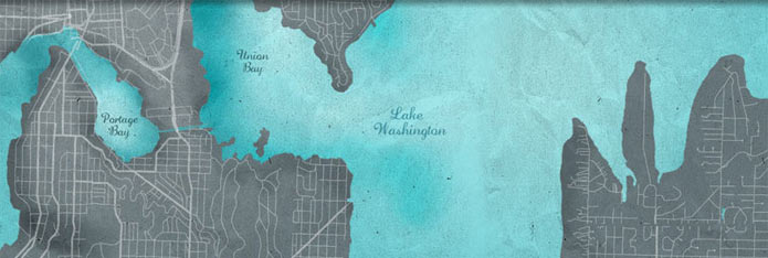
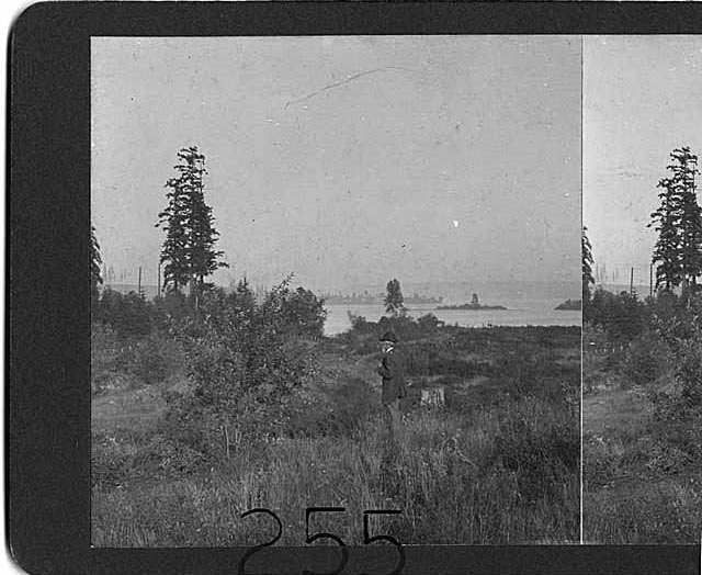
On the west side of Lake Washington, in Seattle, forests and isolated farms developed into residential neighborhoods as Seattle’s population grew exponentially during the late 18th and early 19th centuries. The development of city streets (many of which followed long-used Indian trails) and the construction of street car lines linked the outlying areas to downtown and encouraged landowners to subdivide their land and develop neighborhoods.
The community now known as Montlake was first conceived by Harvey L. Pike in a plat he named Union City. With proximity both to downtown Seattle and one of several potential locations to connect Lake Washington to Puget Sound, an idea first conceived at Seattle’s founding, Montlake was a land of potential in the second half of the nineteenth century. The envisioned real estate profit was enough to lure Pike and many others into the area starting in the 1860s.
Lacking the funds to buy the property outright, Pike obtained the land in 1861 in exchange for his future labor to clear the land. In the years following, Pike slowly began to improve the land, clearing it and unsuccessfully attempting to dig a canal. In 1869, Pike hired draftsman S.C. Harris to draft plans for what he called Union City. This plan, which was formalized on December 6, 1870, included a standard street grid configuration between East Miller Street and Edgar Street with a large swath in the middle reserved for an envisioned canal. Despite his enthusiastic start, Pike sold his land to the Lake Washington Canal Company, of which he was one of the incorporators. Though he was still tangentially involved in the development of the area, Pike moved out of Seattle before his dream of Union City could be realized.
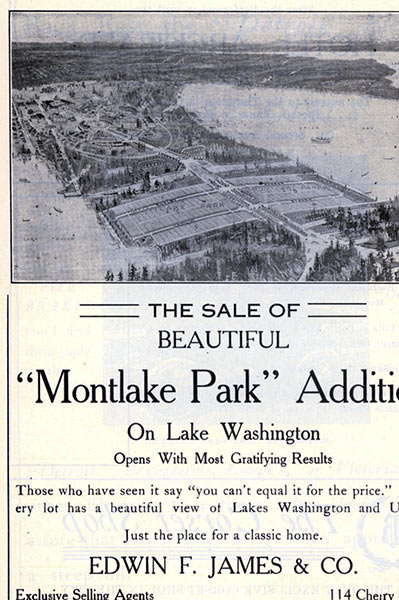
After Pike’s departure, the lands he originally platted changed hands many times, including James M. Corner, who owned a substantial portion of the plat in 1909. Corner, in turn, hired Calvin and William Hagan to administer the architectural and real estate tasks needed to develop the land. The Hagan brothers replatted the area, changed the proposed street names, and renamed the community the Montlake Park Addition to capture the excellent potential for mountain and lake views from its lots. Over the following years, the Hagans planned and oversaw the installation of paved streets and utilities including water, sewer, gas, and electric, as well as the sale of the lots.
In 1909, preparations for the Alaska-Yukon-Pacific Exposition on the University of Washington campus just to the north brought marked transportation improvements to the area. Trolley car lines and a new road from downtown, Interlaken Boulevard, made Montlake a convenient suburb of Seattle.
Visit HistoryLink.org to learn more about theMontlake neighborhood.