RESOURCES
Links to external websites do not constitute endorsement by WSDOT of the linked websites or the opinions, information, products or services contained therein.
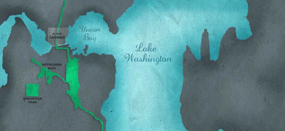
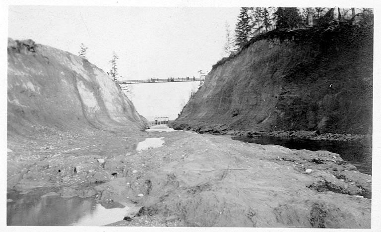
On June 1, 1909, University Boulevard opened in Seattle between Washington Park Boulevard (now a portion of Lake Washington Boulevard) and the south entrance of the Alaska-Yukon-Pacific (A-Y-P) Exposition, the world's fair held on the University of Washington campus from June 1 to October 16, 1909. In 1903, John C. Olmsted (1852-1920) had prepared a plan for Seattle's parks and boulevards system, including a ring of boulevards connecting Seattle's major parks. The first boulevard to be built ran along Lake Washington from the Mount Baker neighborhood to Washington Park. In preparation for the A-Y-P, the Parks Department built an additional segment that crossed the Montlake Portage and ended at the A-Y-P's south gate. (The Lake Washington Ship Canal, built in 1916, had not yet bisected the strip of land connecting Capitol Hill to the University District.)
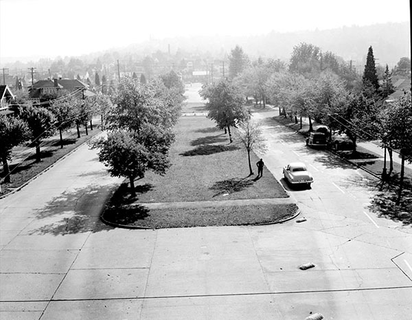
The boulevard made it possible for visitors to drive along the scenic route to the fair, and a new streetcar line on the Montlake Portage portion of the boulevard provided access to the fair from downtown. Olmsted's plan called for the boulevard to run through the university campus and connect with what is now 17th Avenue NE, continuing from there to Ravenna Boulevard. After the A-Y-P, the University of Washington Board Of Regents declined to allow the road to cross campus, so the boulevard followed a different route along the shore of Lake Washington on land owned by the state. Montlake Boulevard, as it is now known, is today a segment of State Route 513. The landscaped center strip is owned and maintained by Seattle's Department of Parks and Recreation.
Visit HistoryLink.org to learn more about Montlake Boulevard.